|
On the morning of Saturday May 7th 2017, we drove to Hoist Covert, then |
|
walked over East Hill and round the Corporation marshes to
Walberswick. |
|
We reached the Harbour Inn (the PH marker on the Southwold side of the |
|
River Blyth) at about 1.15. |
|
 |
|
|
|
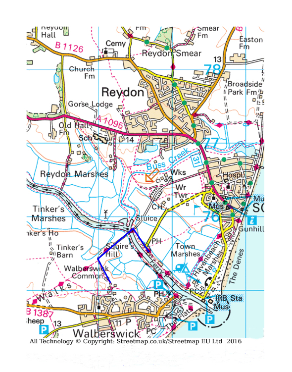
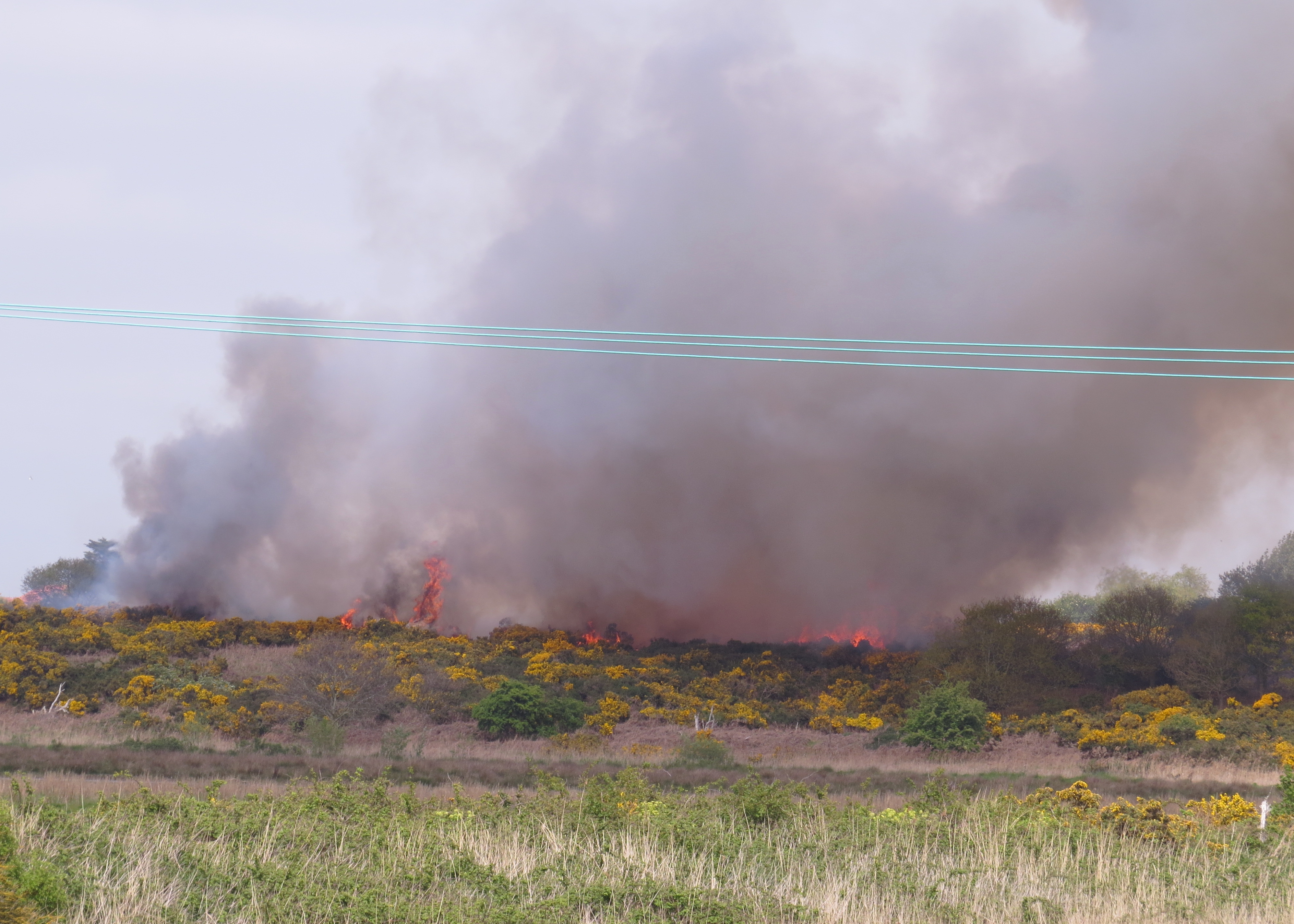
We left the Harbour Inn at about ten past two, following the blue track on |
|
the map, which goes along the tow path towards the Bailey bridge across |
|
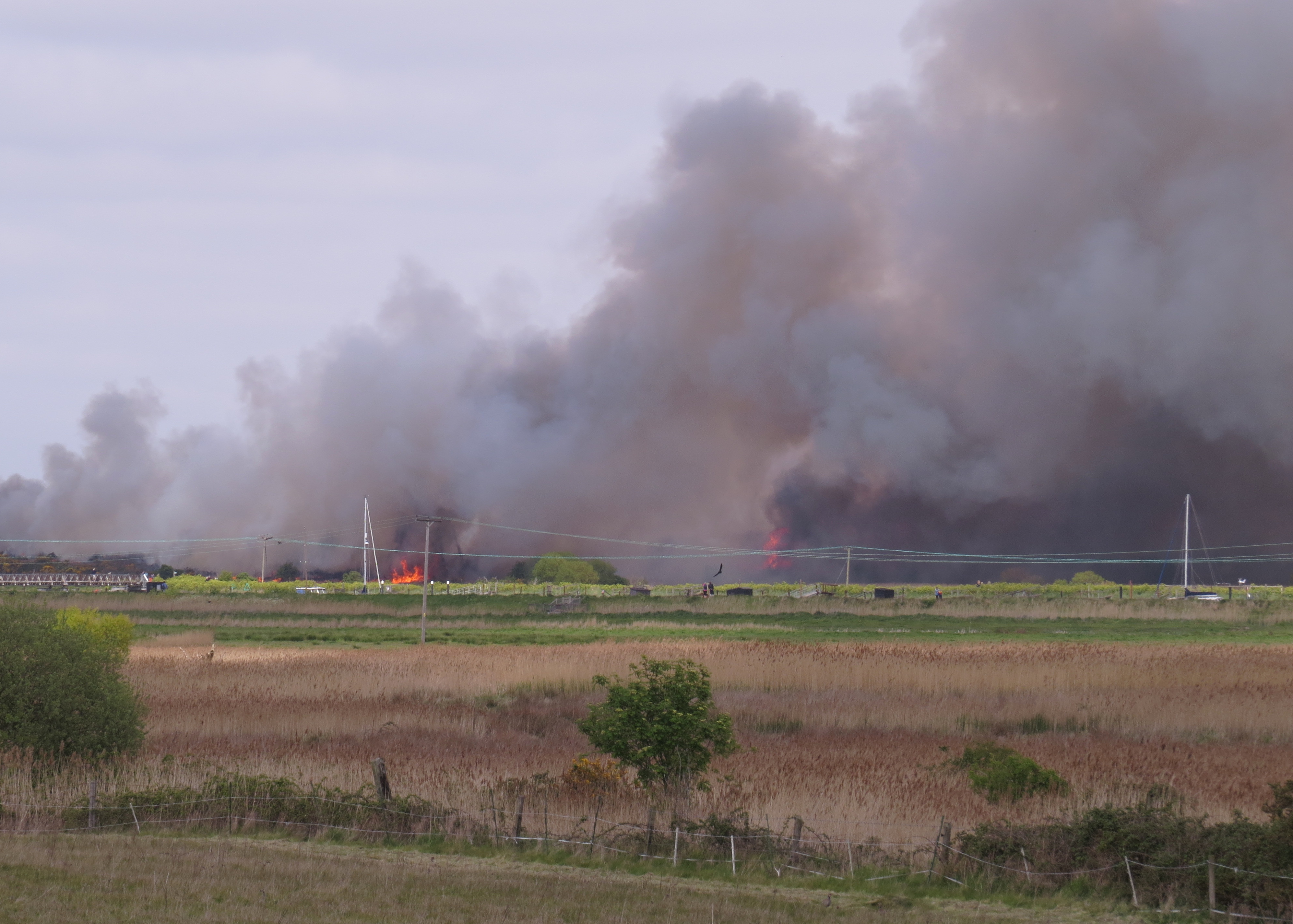
the Blyth on the way to Walberswick. We had just reached the high level |
|
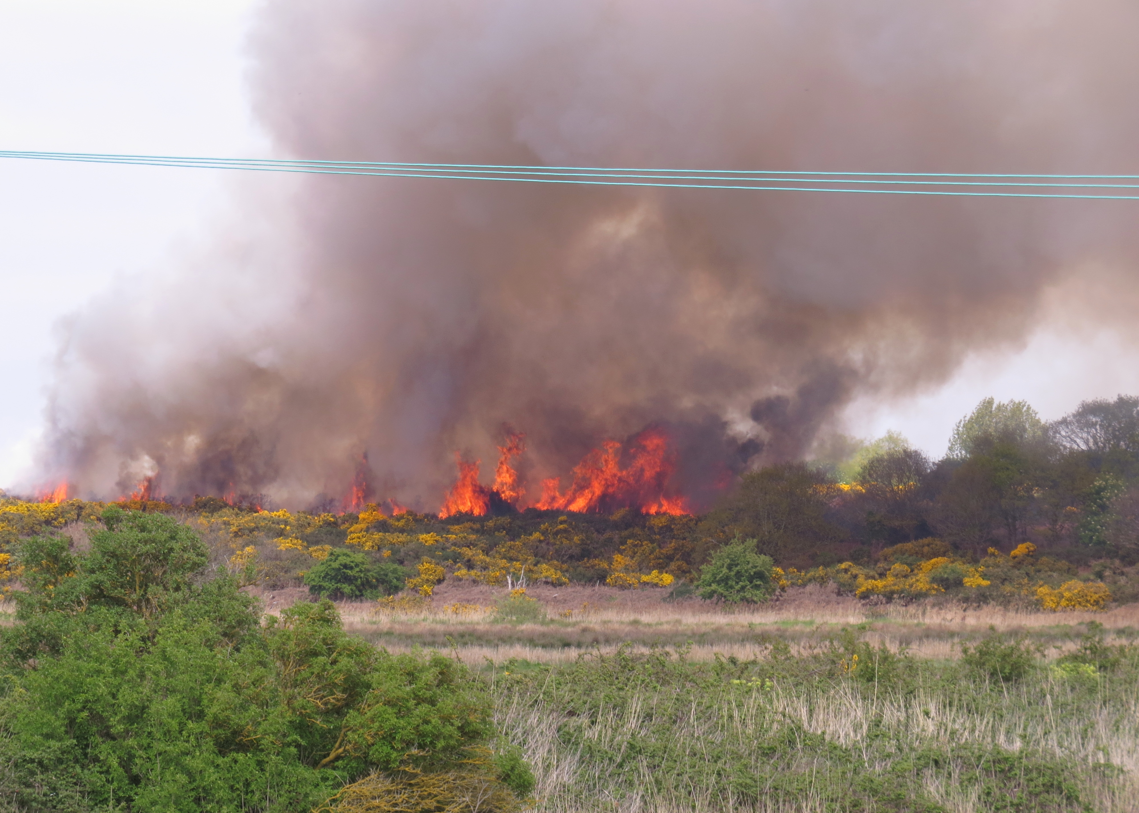
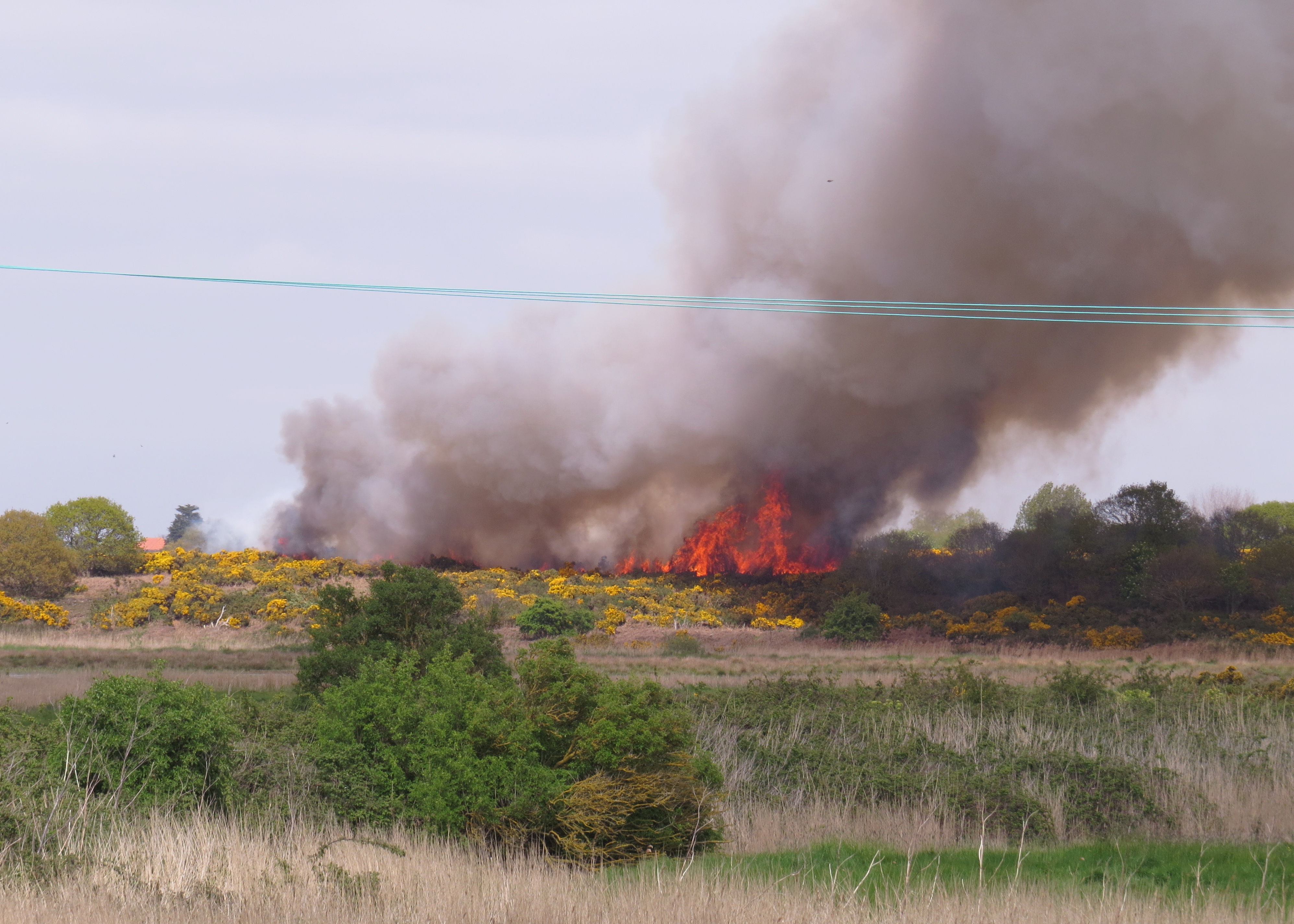
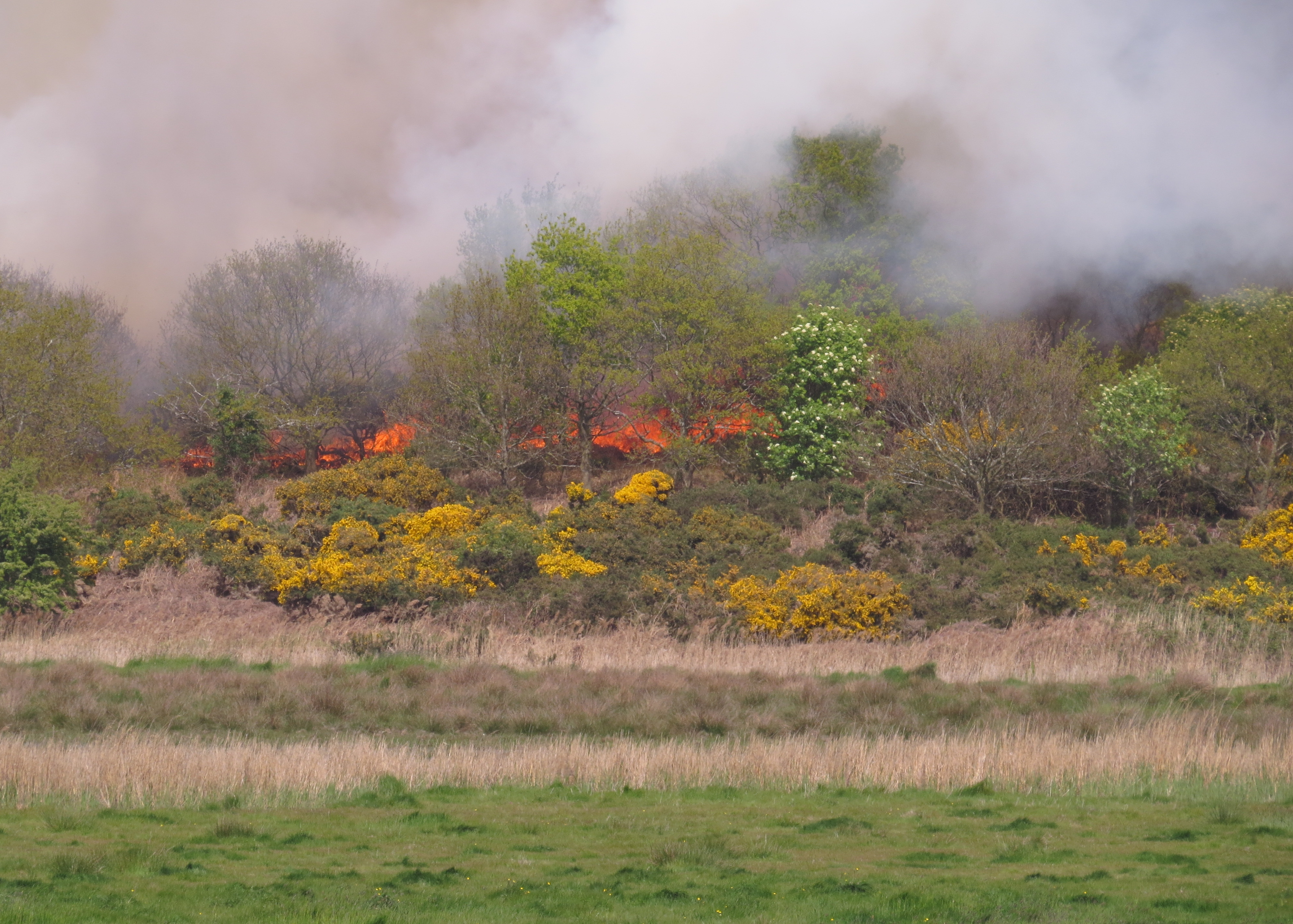
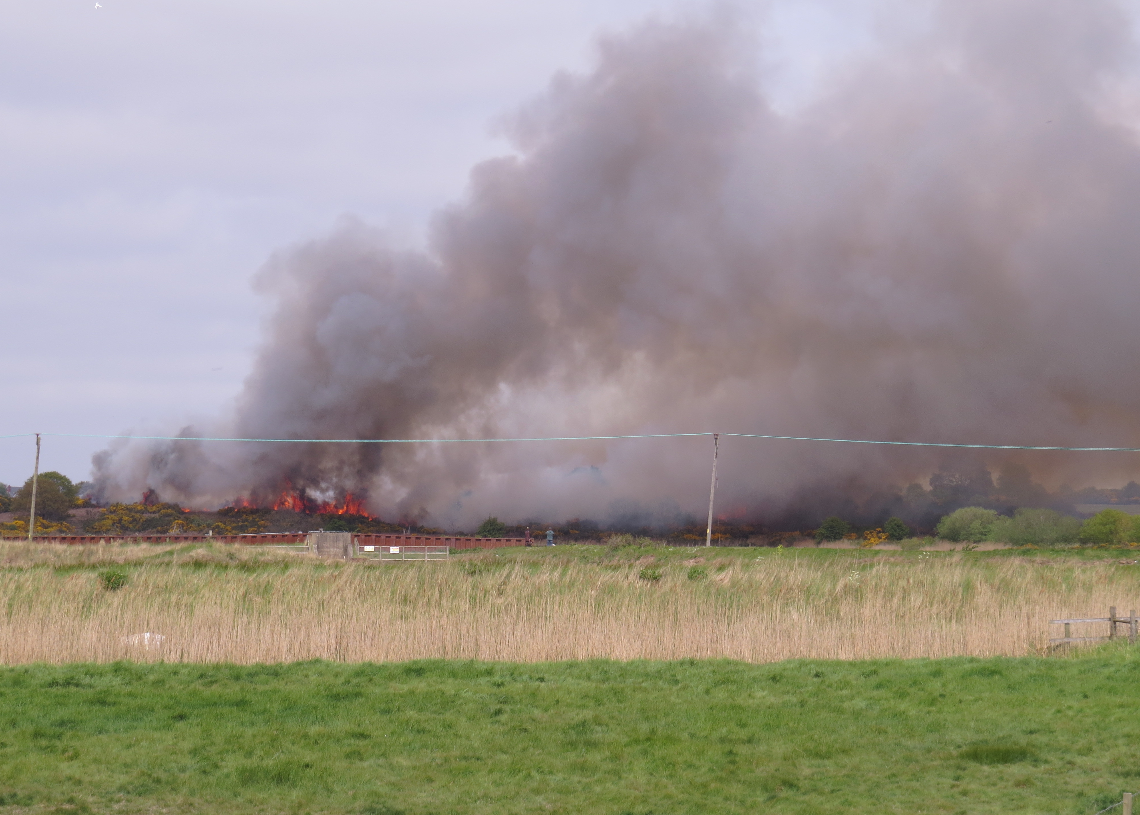
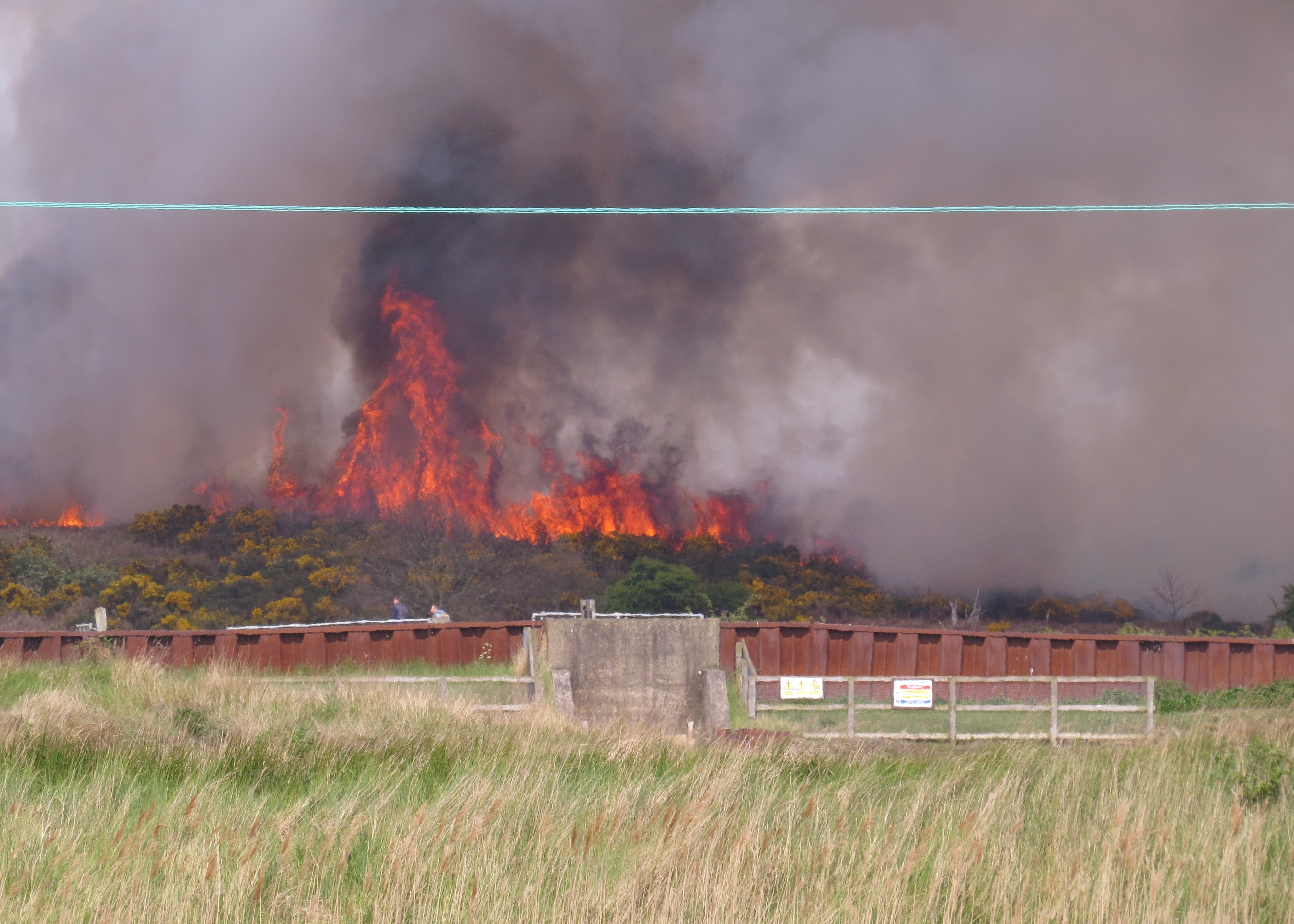
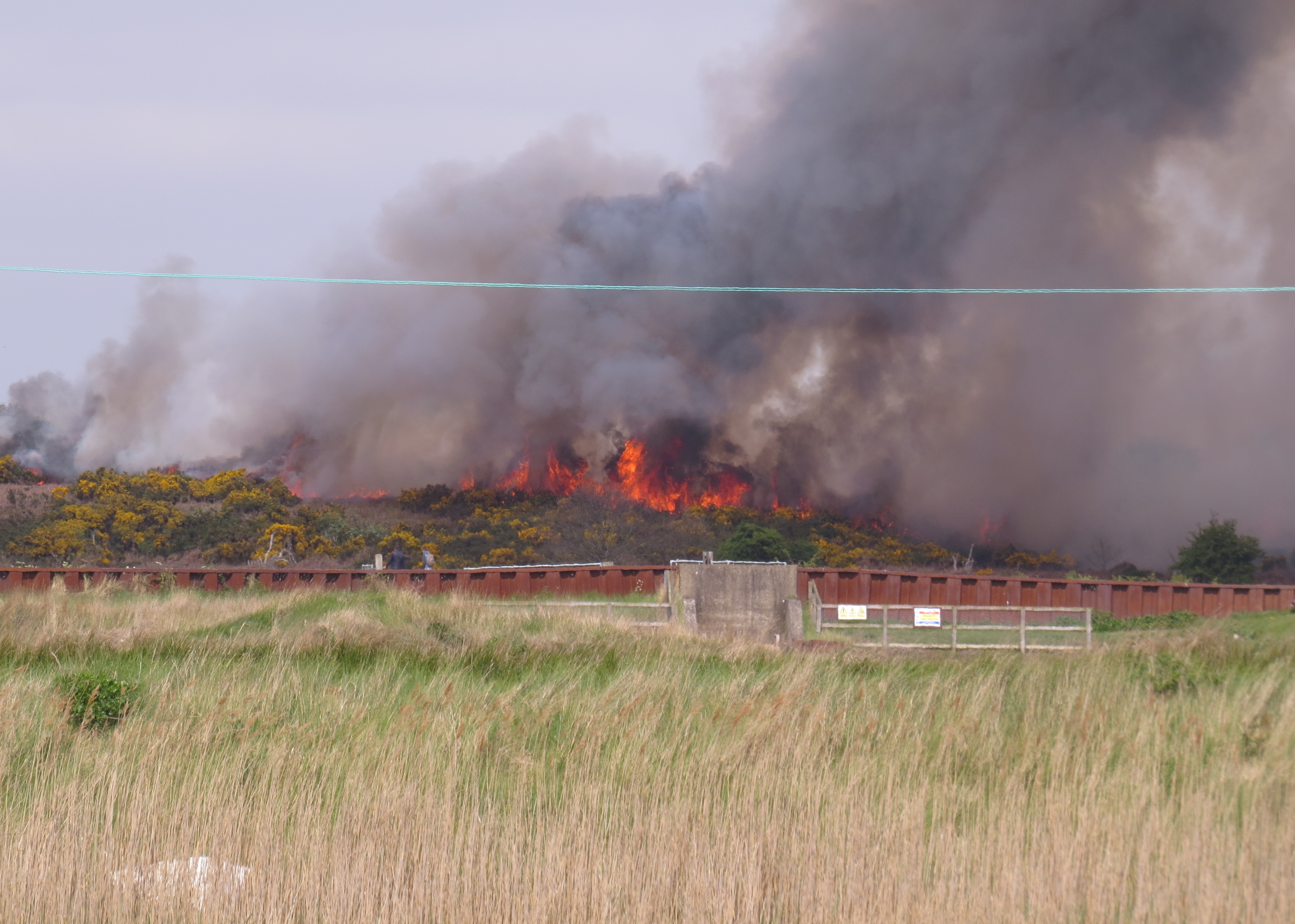
section of the tow path when we saw smoke billowing up over the gorse |
|
common above Buss Creek, followed rapidly by dramatic flames. So the |
|
camera came out without delay, and the first set of photos was taken at |
|
that point. The photos are presented with each set taken at a particular |
|
location together, which means that sets capture a specific period in the |
|
development of the fire. The fire took a couple of minutes to jump the old |
|
railway cutting, so the camera moved on to the Bailey bridge, a bit closer |
|
to the scene of the action. |
|
|
|
|
|
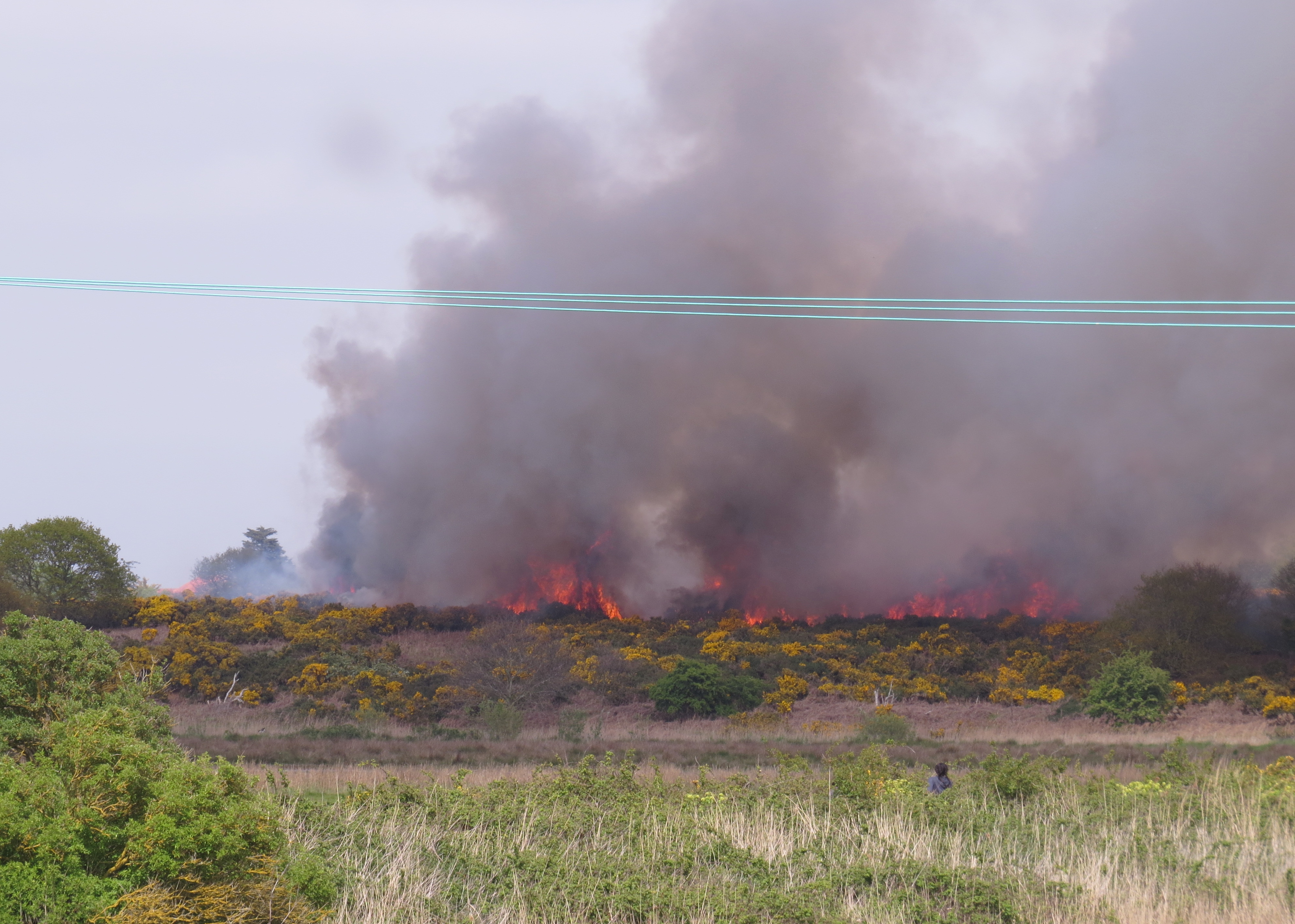
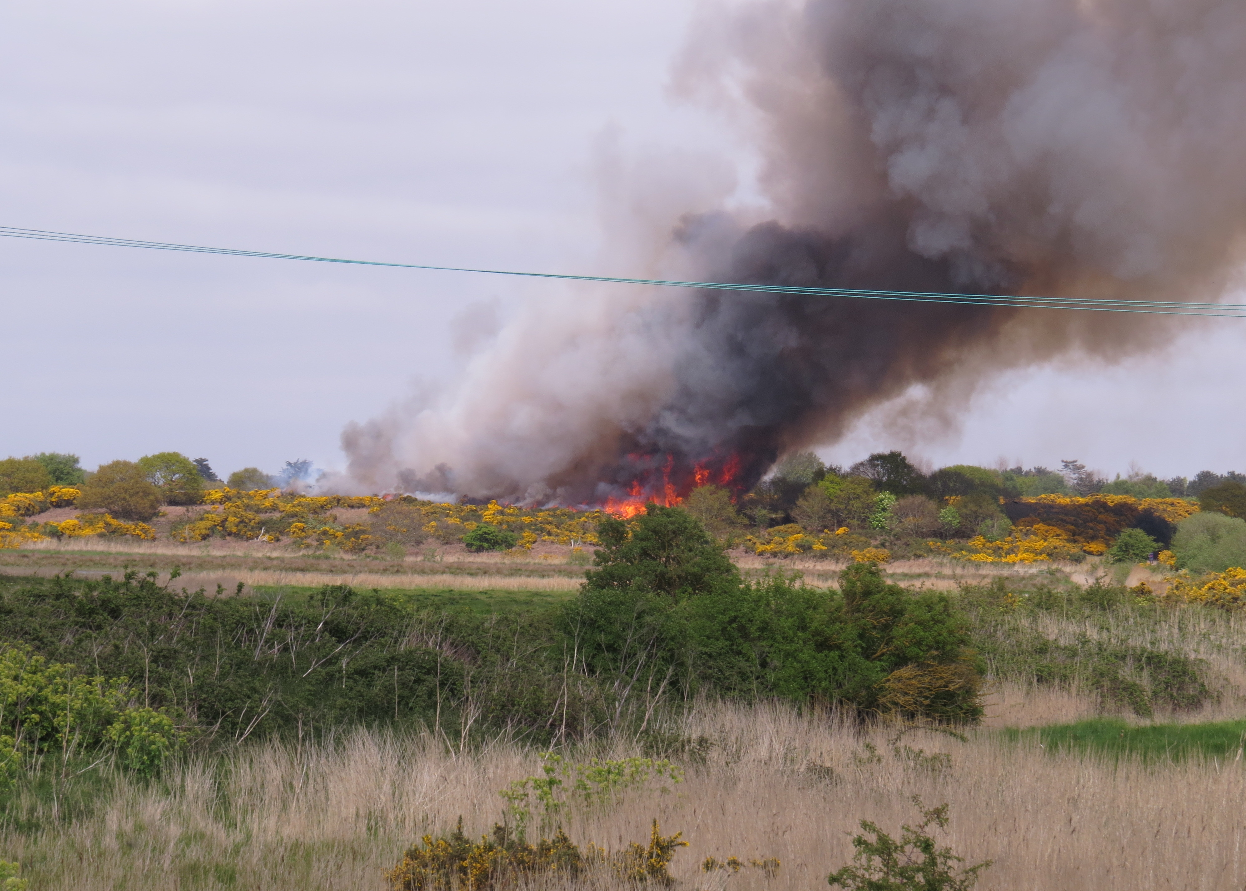
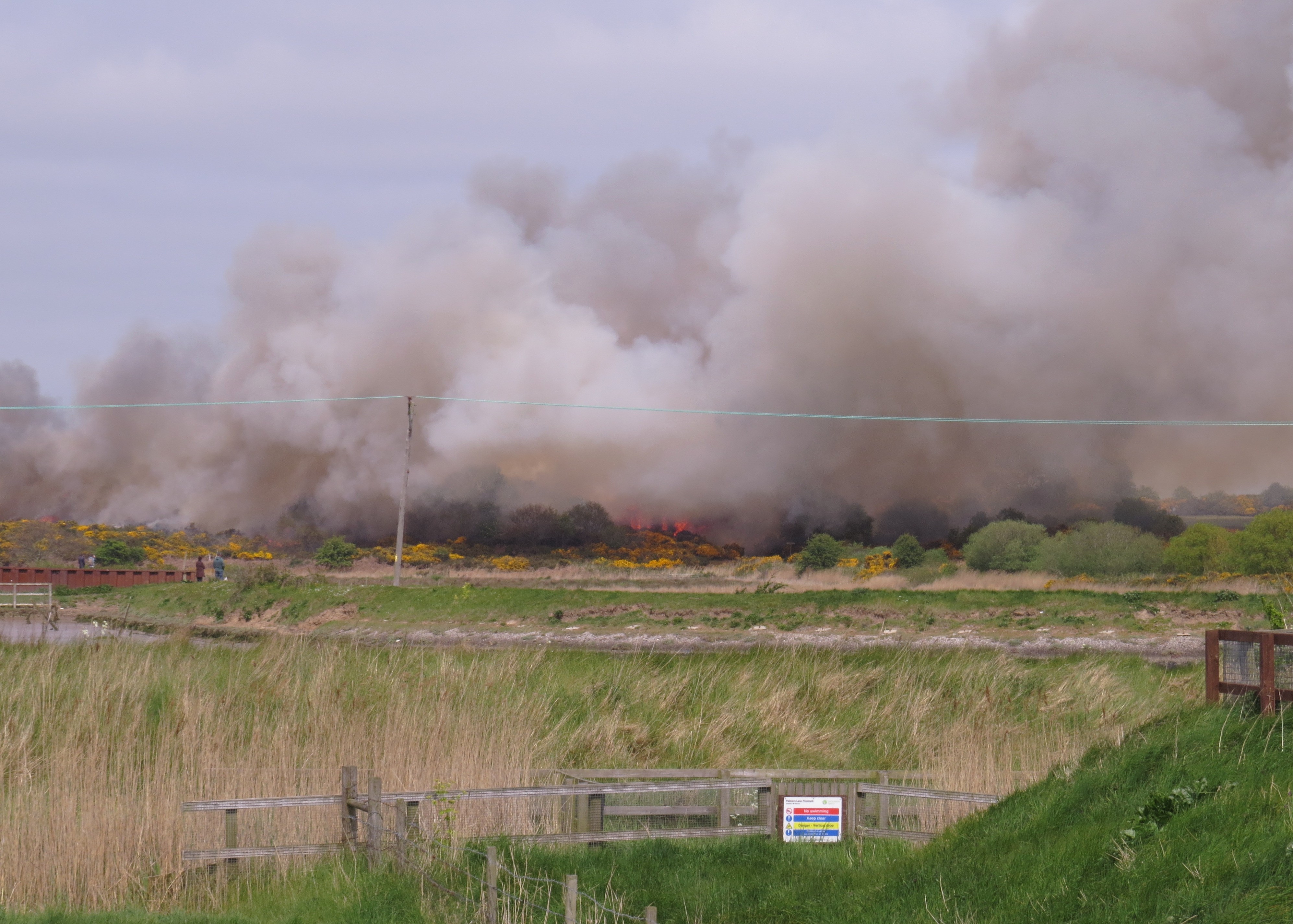
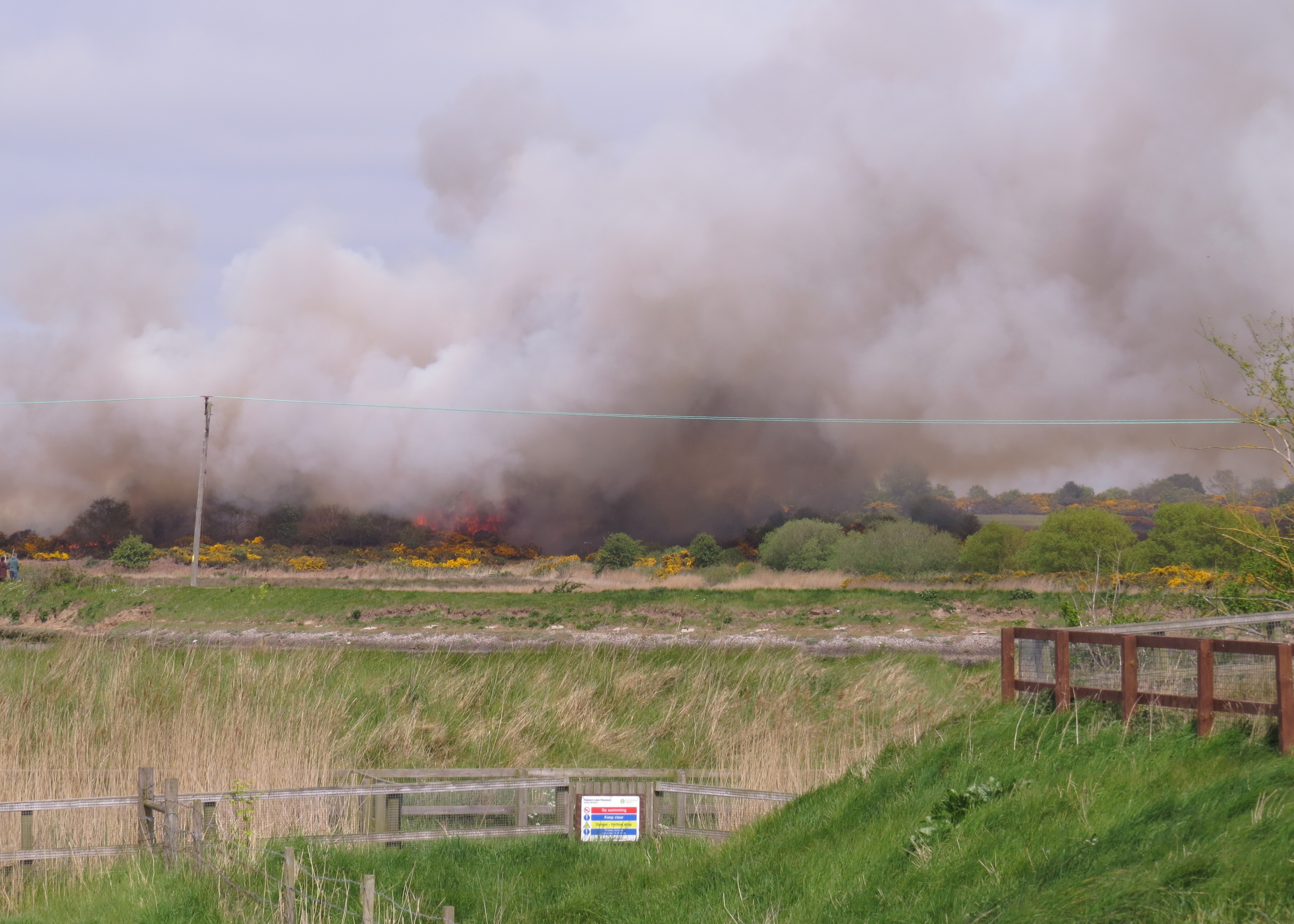
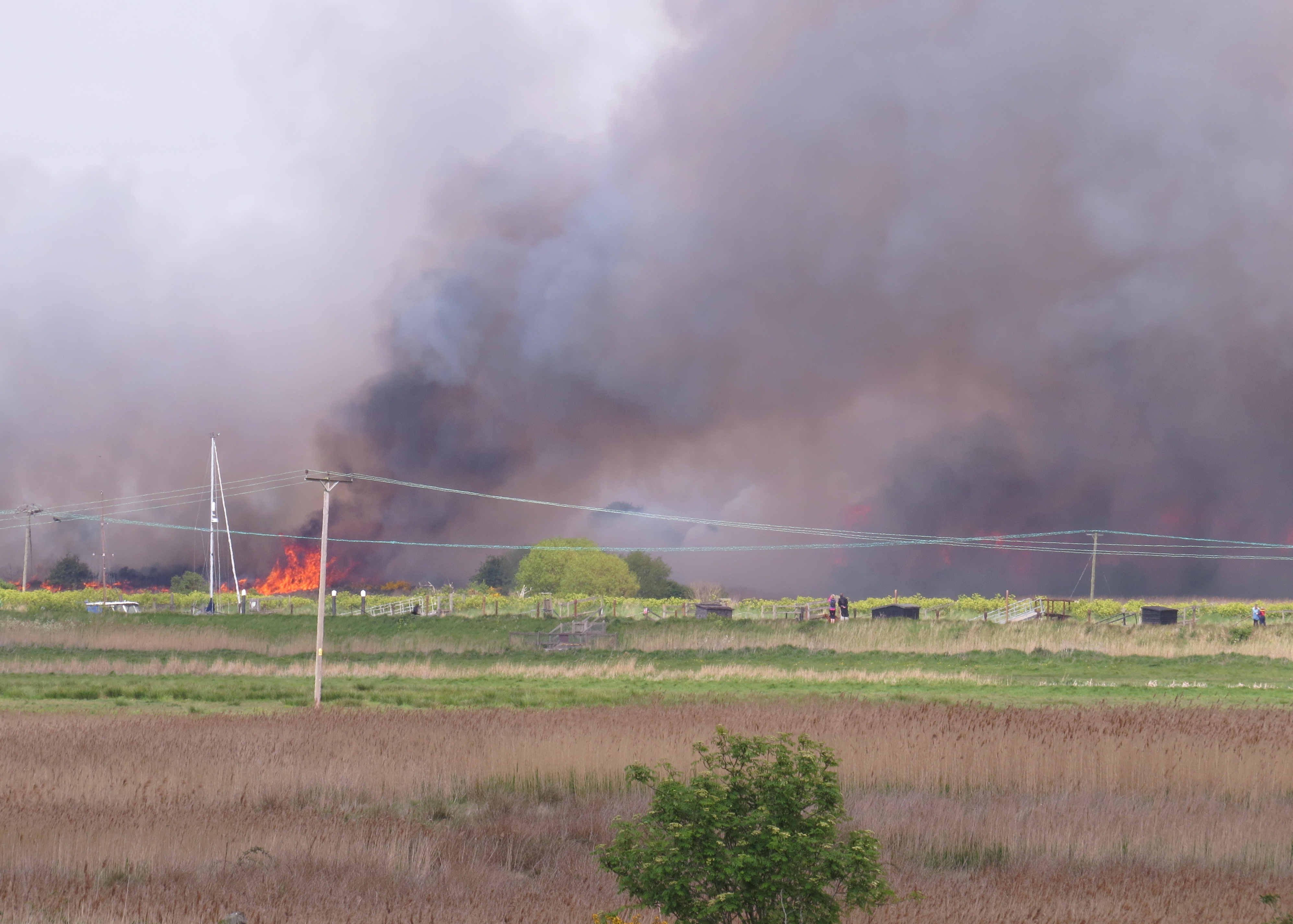
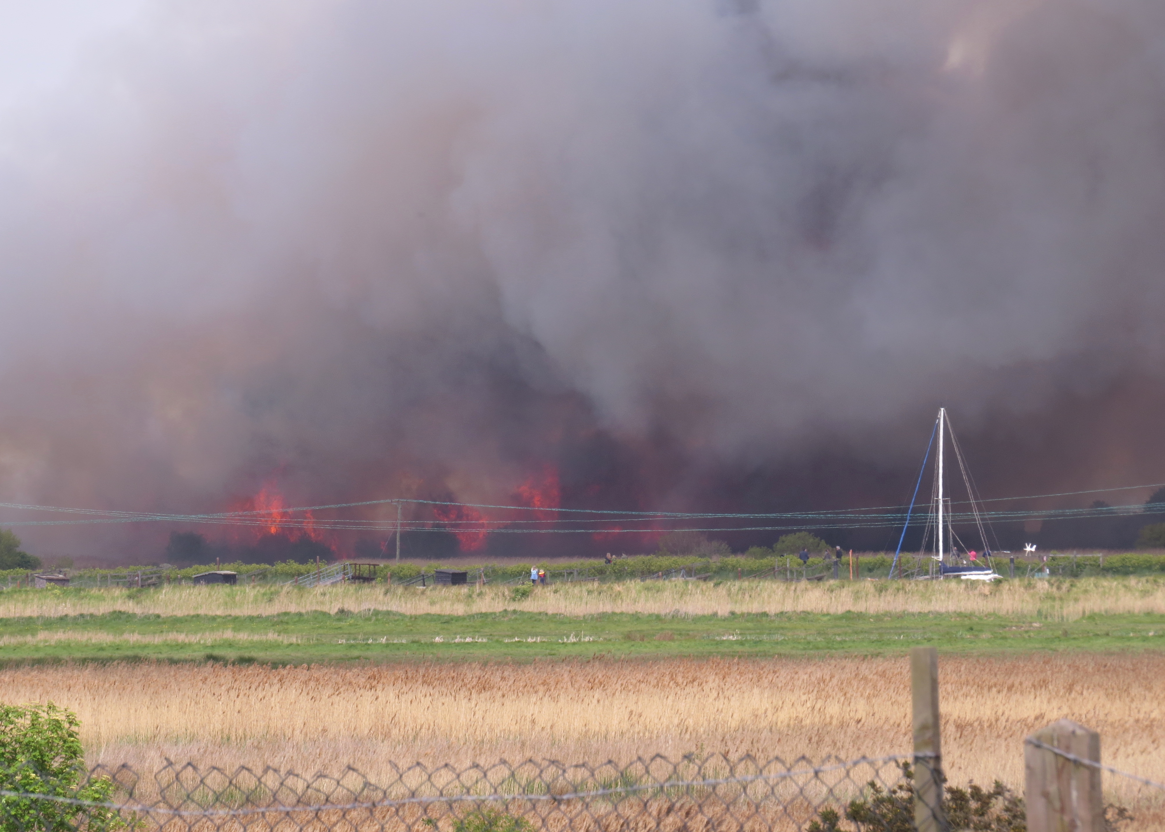
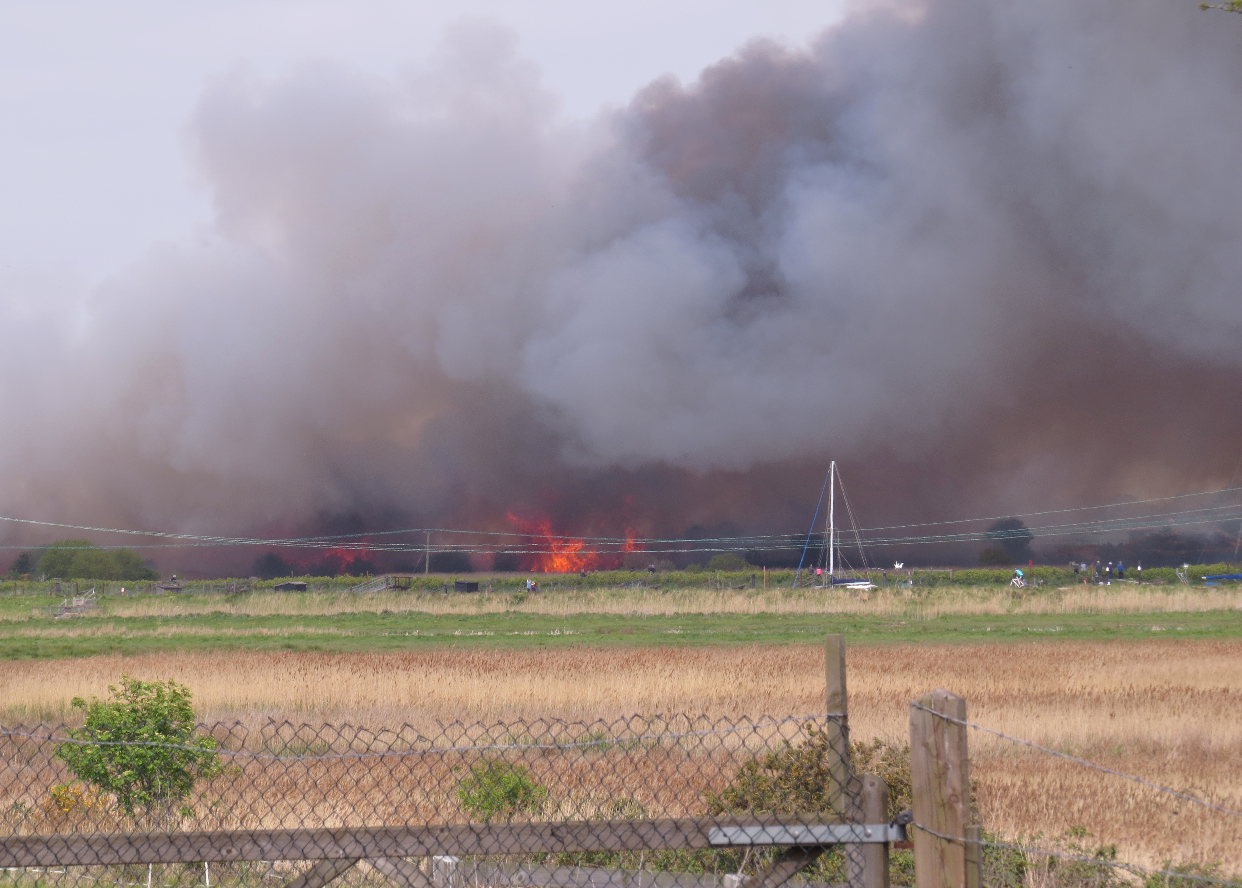
Once the fire reached the East side of the cutting dramatic flames spread |
|
rapidly, and plumes of smoke rose high into the sky. We went up Squire's |
|
Hill along the lane towards Walberswick, and saw huge flames rise again |
|
in the area to the West, near to where the fire had started. |
|
|
|
|
|
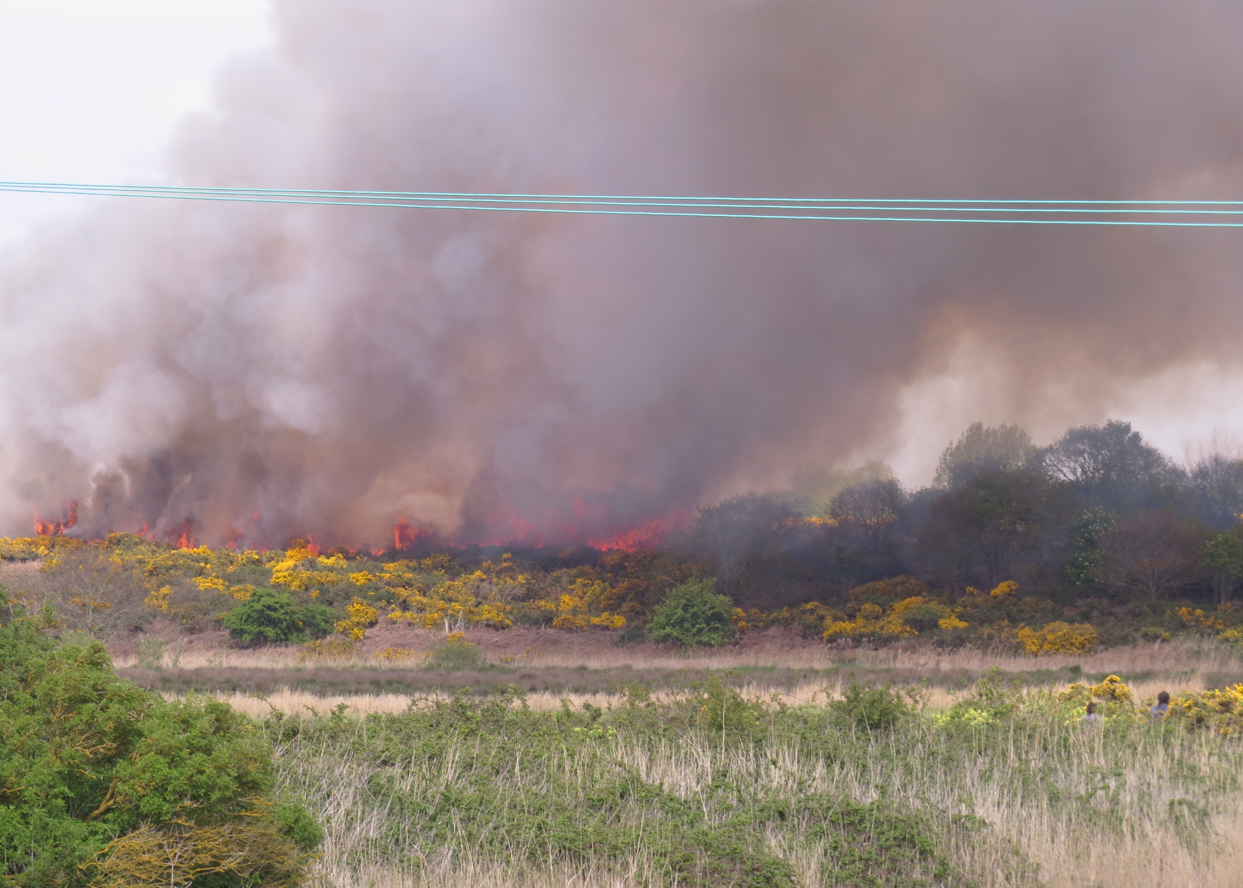
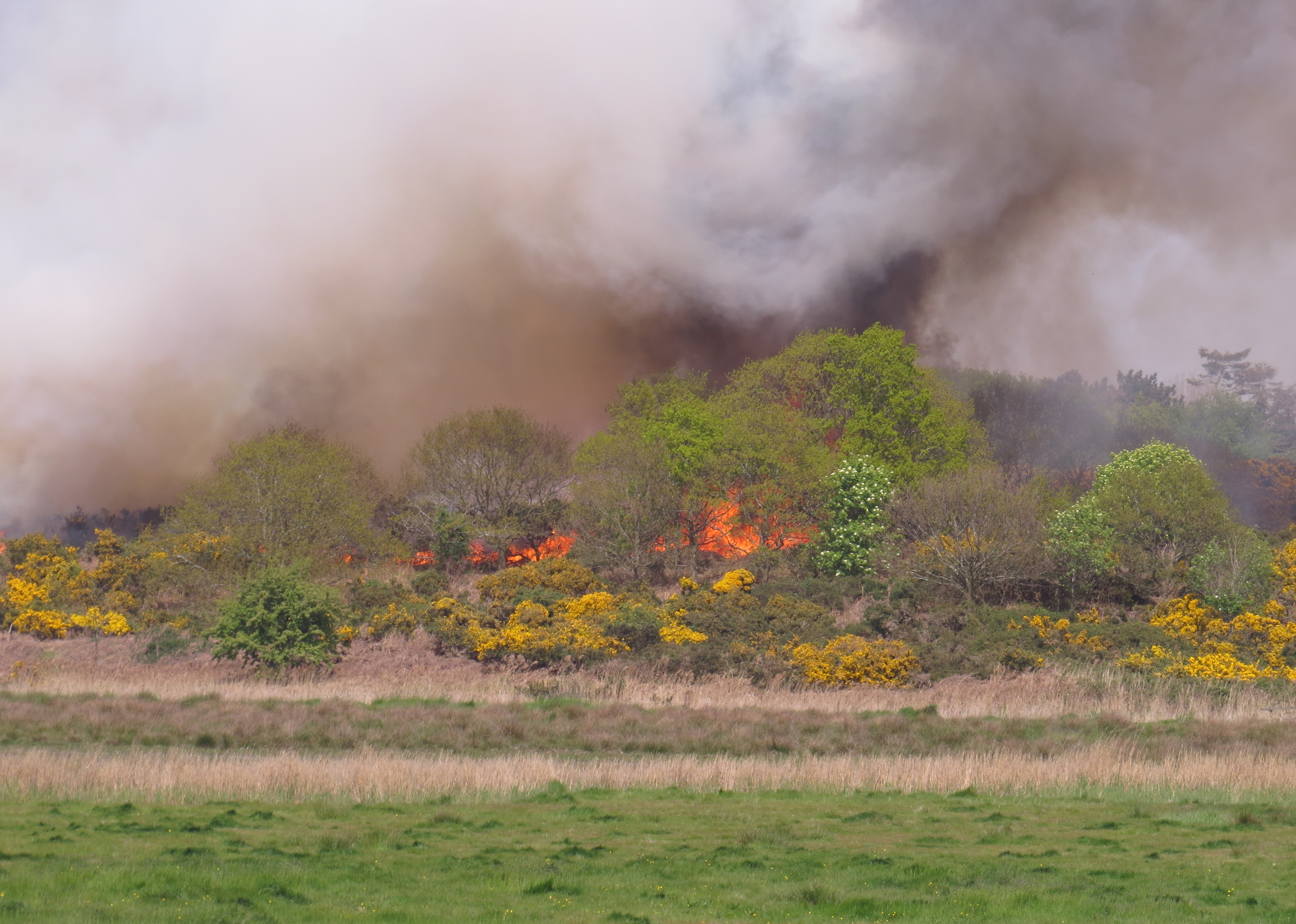
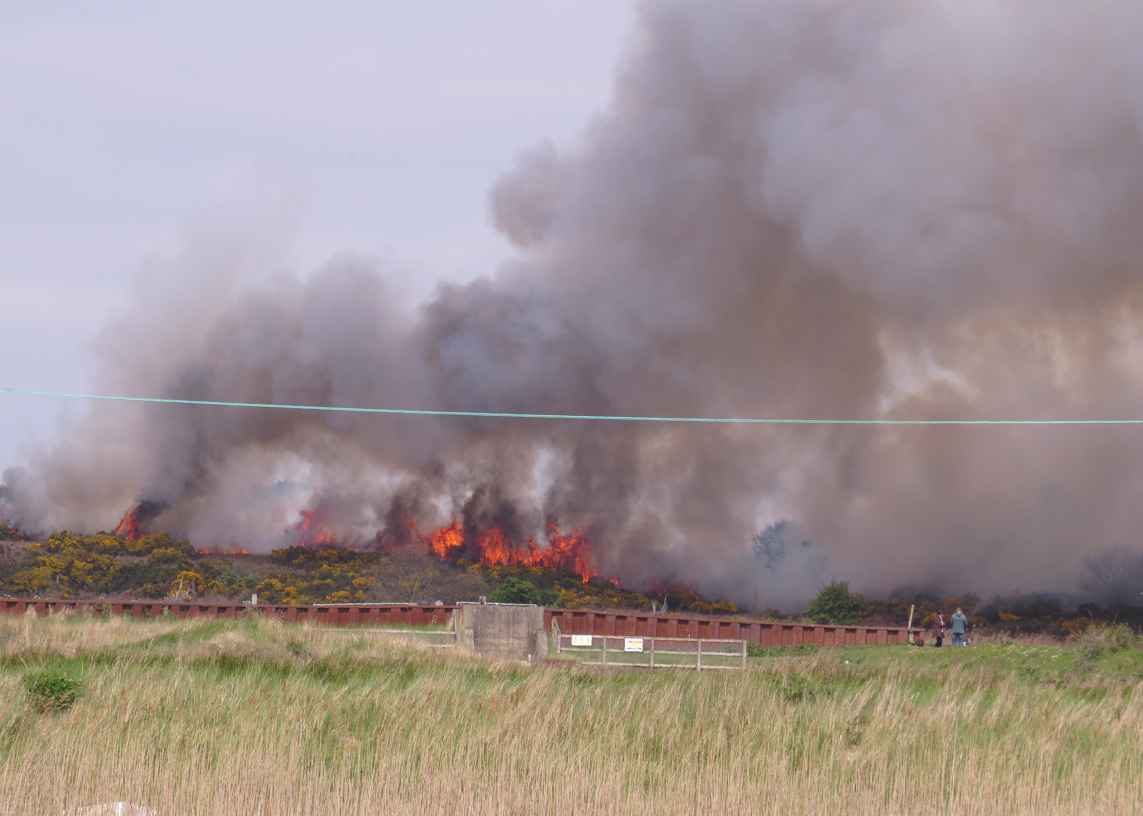
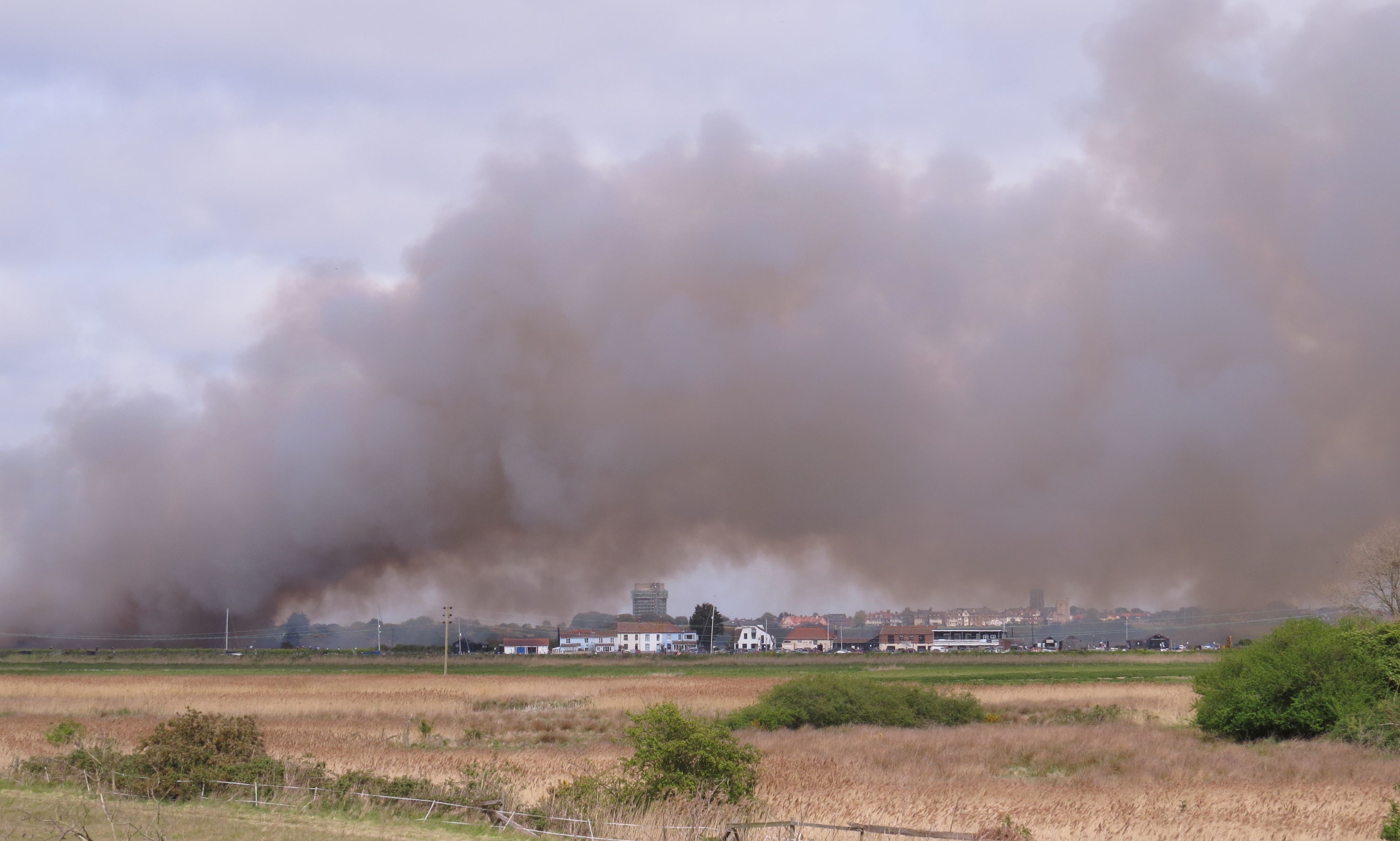
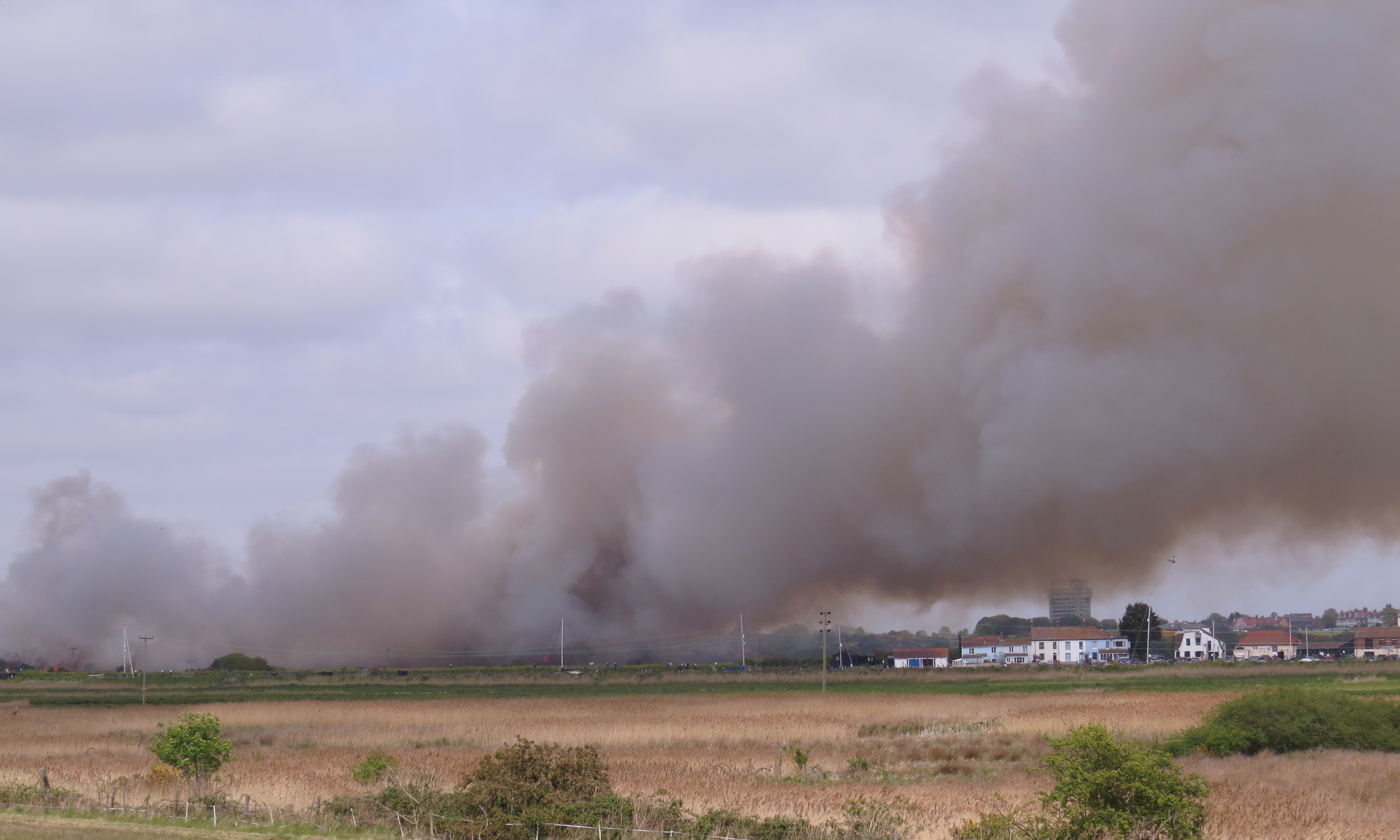
The flames were slow to die, and the smoke overhead grew ever thicker. |
|
We found a good place to stop to take more photographs, but the gloom |
|
had now obscured Southwold completely. Our final stop was just before |
|
we reached the first houses in Walberswick, getting a good view down to |
|
the Harbour Inn, while a pall of smoke still hung over Southwold. |
|
|